%20(1200%20x%20237%20px)%20(300%20x%2059%20px).webp)
Are GIS Skills a Must for Planners?
There was a time when your GIS skills made you stand out in planning. If you could build your own maps, run spatial analyses, and tell a story through data, you weren’t just a planner—you were a storyteller, a translator of complex ideas into visual logic... a magician? Kind of. (Seriously, have you seen a good map lately? Total magic.)
Back then, if you had this powerful force called GIS, you were indispensable, especially in small departments or when quick decisions had to be made with limited support.
Now? That same skill set might not make you special. It might just be expected.
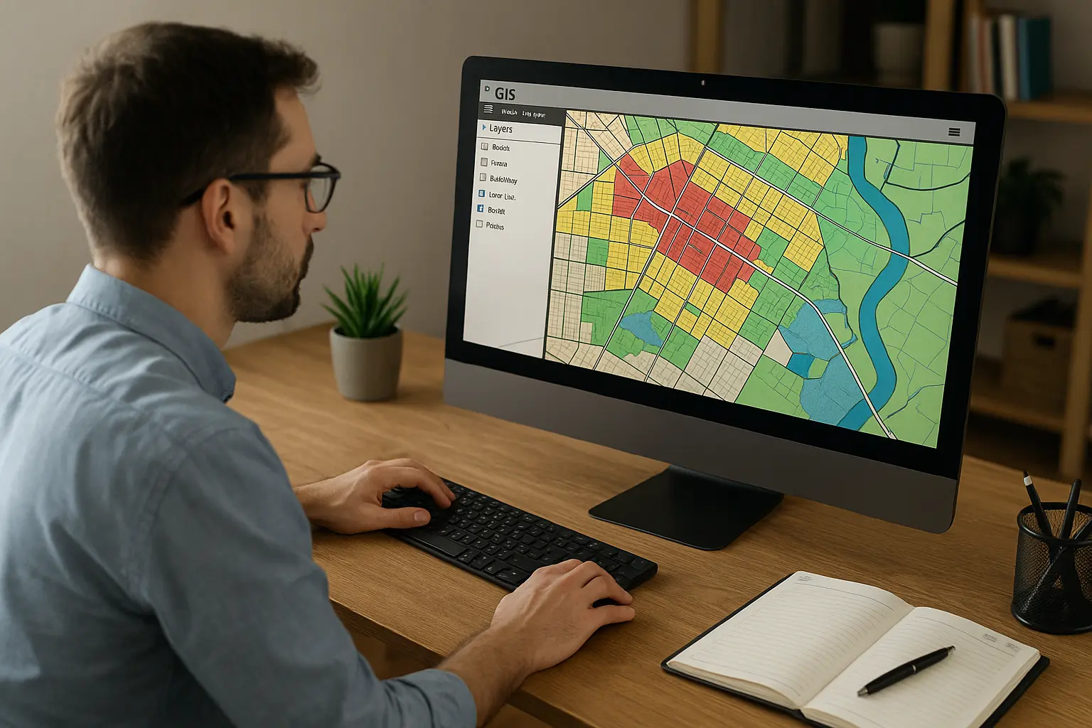
Geographic Information Systems (GIS) has long been a cornerstone of planning work such as mapping zoning boundaries, analyzing land use, identifying underserved communities...all of it. But with more user-friendly tools, pre-made dashboards, and entire GIS teams in place, many planning students and early-career professionals are asking the same thing:
Do I really need to have GIS skills?
Let’s break it down.
Why GIS Has Been So Central
GIS gave planners a superpower: the ability to visualize space and data at the same time. It let us map development patterns, analyze environmental constraints, track demographic trends, and explain all of it to the public with clarity.
Before we move on, here’s a quick explainer for some of those terms...ZOP style:
- Development patterns are just the different ways towns, cities, and neighborhoods grow and take shape. Think of it like arranging your bedroom: where the bed goes, how much space you leave to walk, where you stash your snacks. Cities do that too, just on a bigger scale.
- Environmental constraints are nature’s way of saying, “Nope, don’t build here.” It could be a swamp, a steep slope, a flood zone, a river, an ocean (though some projects are trying to build on large bodies of water...more of that on anothe post). Basically, if you’ve ever played Minecraft and tried to build on top of a lake or in a mountain—you get it.
- Demographic trends are patterns about people. Who lives where, how that’s changing, and what they might need. Imagine looking at your school to figure out how many kids are in each grade, who’s moving in or out, what languages people speak at home, how many students are in sports, how many are in drama...band?. Cities look at that too, except instead of figuring out how many teachers to hire, they’re deciding where to build housing or transit.
GIS helps planners understand all of this and more. That hasn’t changed. But how GIS is used and who’s expected to use it definitely has.
How Things Are Shifting
Today, a lot of big agencies and firms have dedicated GIS analysts. That means planners don’t always need to make the maps, but they do need to understand them.
Here’s the shift:
Then:
- Planners were the GIS team
- Making maps was part of the job
- GIS skills made you stand out
Now:
- GIS might be its own department
- Interpreting maps is the baseline
- GIS literacy is expected
You don’t have to be an ArcGIS wizard. But if someone hands you a map and you can’t explain what you’re looking at? That’s a problem.
What Planners Actually Need to Know
You don’t need to run complex spatial joins or write Python scripts (unless that’s your job). But you do need to understand what GIS can and can’t do.
You should be able to:
- Talk with GIS professionals and ask smart questions
- Know the basics of tools like ArcGIS Online, QGIS, or even Google Earth
- Read a map with zoning, land use, or demographic layers and actually understand what’s going on
Think of it this way: you don’t need to build the car, but you better know how to drive it.
Should You Still Learn GIS?
If you’re a student or just starting out? Yes! Learn GIS. Even a basic course can give you confidence and make you more versatile, especially in smaller or under-resourced agencies. It can even help you stand out in interviews.
If you’re mid-career or working in anything like policy, design, or community engagement? It’s still worth brushing up. Knowing how to speak “map” will help you collaborate with your team and your community.
Final Takeaway
Yes, GIS is still a must-have skill but the meaning of “must-have” is evolving.
It’s less about mastering every tool and feature GIS has to offer and more about being able to understand and communicate using spatial data. GIS is still at the heart of planning, it’s just no longer the entire toolkit.
So no, you don’t need to be a cartography ninja (though that would be cool). But if you can’t confidently talk about maps, it’s kind of like showing up to a bake-off without knowing what an oven is. You might be passionate, but things are gonna get weird fast.