%20(1200%20x%20237%20px)%20(300%20x%2059%20px).webp)
.webp)
When the Ground Sinks Beneath Us: Why Subsidence May Be the Defining Planning Challenge of Coastal Cities
Planning often frames the future as something rising—towers reaching higher, seas climbing steadily upward. But in many American cities, the ground itself is dropping. Subsidence, the slow sinking of land due to human activity and natural processes, is quietly rewriting the risks we face.
NASA and Virginia Tech researchers have shown that at least 20% of land in the 28 largest U.S. cities is sinking, threatening 34 million people. In some places, subsidence is happening faster than the oceans are rising. And yet most flood maps, zoning codes, and resilience plans ignore it.
For planners, that omission can have serious consequences. If we can’t plan for the ground itself shifting under us, how can we plan for anything else?
What Subsidence Actually Is
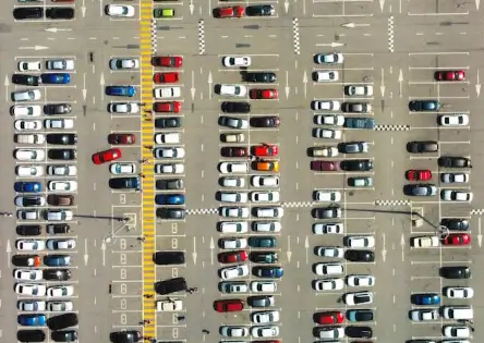
Subsidence sounds abstract, but its causes are familiar. Pumping aquifers faster than they recharge causes soils to compact—Houston has already lost several feet this way. Heavy infrastructure like buildings, highways, and utilities press down on soft soils, especially reclaimed land, which sinks under its own burden. Dams trap sediments that once replenished deltas, starving places like New Orleans. Along the U.S. East Coast, land is still settling after the last Ice Age, tilting downward as northern crust rebounds. Clay and peat soils also compact naturally over time, especially when drained. These drivers combine unevenly, making subsidence treacherous. One street may sink faster than the next, leaving a patchwork that cracks roads, warps pipelines, and strains bridges.
.webp)
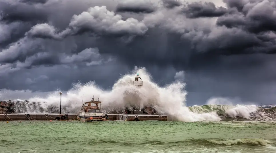
The Silent Amplifier of Flood Risk
Sea-level rise grabs headlines, but subsidence is the invisible multiplier. If seas rise by 4 mm per year while land sinks by 5 mm, the net effect is 9 mm per year of relative rise—more than double what maps might suggest. In Houston, some suburbs have sunk more than 10 feet since the 1920s, magnifying flood risk during storms like Harvey. Norfolk’s military bases and neighborhoods continue to sink due to groundwater withdrawal and glacial rebound, worsening tidal flooding. In Charleston, parts of the city subside by several millimeters annually, making so‑called “sunny day flooding” almost routine. Even inland, California’s San Joaquin Valley has dropped more than 28 feet from irrigation withdrawals, crippling canals and water delivery. Planners often design as if sea‑level rise is the only variable, but when the ground itself shifts, the baseline assumptions collapse.
.webp)
Why Planners Can’t Ignore It
Subsidence creates practical problems that ripple across the built environment, mapping, social equity, and policy. Ignoring it can leave cities with hidden liabilities that emerge only after damage has already been done. For planners, the implications are far-reaching and impossible to ignore:
1. Infrastructure at Risk
When land sinks unevenly, streets buckle, water lines snap, and rails lose their alignment. The hidden cost isn’t just emergency repairs but the long-term strain on capital budgets. A road designed for 30 years of service may fail in half that time if subsidence undermines its foundation. Planners who don’t factor land motion into infrastructure planning leave their cities paying a constant premium for reactive fixes.
2. Hazard Mapping Is Flawed
Most floodplain maps assume a stable ground elevation. This means an area zoned “safe” today could sink below flood thresholds within a decade. The result: homes and businesses are legally permitted in zones that become high-risk almost overnight. For planners, this creates both safety risks and liability issues, since permitting decisions are only as good as the maps they rely on.
3. Equity Dimensions
Subsidence rarely distributes its impacts evenly. Lower-income and minority neighborhoods are more likely to sit on vulnerable soils, reclaimed land, or low-lying coasts. When flooding worsens, these residents are the first displaced and the least able to recover. Without equity-centered adaptation policies, subsidence accelerates cycles of disinvestment and displacement, turning environmental stress into a driver of inequality.
4. Policy Blind Spots
Zoning and building codes often treat elevation as a fixed fact, but subsidence turns it into a moving target. Setback rules, foundation standards, and infrastructure plans assume ground stability that simply doesn’t exist in many places. Unless codes evolve, cities risk approving projects that are obsolete before they’re finished. Planners must advocate for dynamic policies that account for land that may literally shift beneath our feet.
The Planning Toolkit We Need
So what do we do when the ground itself won’t sit still?
- Monitoring: Cities should adopt InSAR satellite monitoring and local GPS benchmarks to track land movement. Data must feed into comp plans and capital plans.
- Regulation of groundwater withdrawal: Houston slowed its sinking by limiting groundwater pumping. That requires regional cooperation and political will.
- Designing with flexibility: Elevated roadbeds, adjustable seawalls, and modular utilities can buy time.
- Nature-based buffers: Restoring wetlands and sediment flows helps slow subsidence and absorb floods.
- Zoning for retreat: In some cases, the responsible move is not to build at all. Buyouts and managed retreat may be cheaper than defending sinking land indefinitely.
Global Lessons, Local Urgency
The U.S. isn’t alone. Jakarta, Indonesia, is sinking so fast (up to 11 inches a year in some areas) that the government is building a new capital city inland. Mexico City has subsided nearly 30 feet over the last century. Bangkok, Lagos, and Tokyo all wrestle with the same problem.
But unlike Jakarta, most American cities have the resources to act now. The issue is not capacity but will. Subsidence doesn’t make dramatic headlines—it happens quietly. Yet ignoring it until it becomes crisis is exactly what planning is supposed to prevent.
.webp)
Rethinking Resilience
Resilience planning often focuses on “bouncing back” from disasters, but subsidence reframes the challenge. It introduces the idea of slow disasters—creeping conditions that steadily weaken communities before storms ever arrive. This shift demands a broader mindset from planners. Instead of only designing levees, they must also ask whether the land beneath them can be trusted to hold. Instead of assuming today’s floodplain maps will remain accurate, they must treat those maps as provisional, knowing that ground levels may shift. And instead of focusing solely on carbon and climate, they must integrate geology, hydrology, and infrastructure into the equation. Resilience is not only about building stronger walls but about choosing smarter sites, committing to continuous monitoring, and having the courage to retreat when necessary.
The Equity Imperative
When land sinks, it doesn’t sink evenly. Wealthier districts often elevate roads, install pumps, and reinforce seawalls, while poorer neighborhoods are left behind. The result is not just physical subsidence but social subsidence—a deepening gap in who gets to stay safe and dry. For planners, that means equity must be baked into adaptation. Infrastructure in vulnerable neighborhoods must be prioritized, funding made available for home elevations or buyouts when retreat is unavoidable, and zoning policies written to ensure that risk is not shifted onto those least able to move. Equity in this context is not an add-on but a core requirement, because ignoring it deepens vulnerability and accelerates displacement.
.webp)
Closing Reflection: Planning When the Ground Moves
We often say planning is about shaping the future. But subsidence forces us to admit: sometimes the future shapes itself beneath our feet.
The real question isn’t whether our cities are sinking—it’s whether our planning frameworks will keep pace. Will we keep drawing maps as if the land is fixed, or will we plan with the humility that even the ground isn’t guaranteed?
If we can plan for subsidence, we can plan for anything. But if we ignore it, even the strongest seawalls won’t hold.